App Detial

Anzen GPS
Seller: M Shahrooz AminPrice: -1


Download Anzen GPS free via AppsHawk.
Current Global Positioning System (GPS) provides routes to destination based on time, distance, tolls, construction, etc.; however, there is no existing route guidance based on location safety. What if to maintain shortest traveling distance the existing GPS system takes the driver and the passengers through an unsafe place? Anzen is a navigation application developed on iPhone platform that serves two functionalities namely, it provides route planning map to destination based on safety, and it informs users of how safe their current location is and of any desired location as long as the data regarding the city is present in the database.
Clicking on the “City Check†button shows a list of cities in the USA. To know how safe a city is, the user can either select any of the cities shown or can enter the name of city. Clicking on “My Place†will show the safety level of the current location of the user. The safety info is represented as follows:
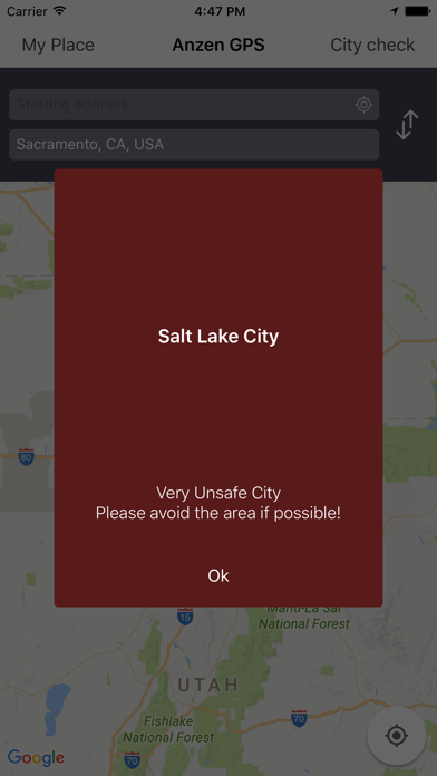
• For Very Unsafe city (red color):
Very Unsafe City
Please avoid the area if possible!
• For Unsafe city (orange color):
Unsafe City
Please stay alert of your surroundings!
• For Safe city (yellow color):
Safe City
Enjoy!
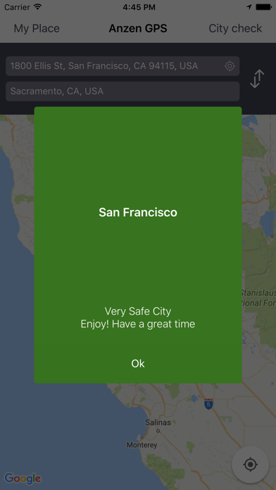
• For Very Safe city (green color):
Very Safe City
Enjoy! Have a great time!
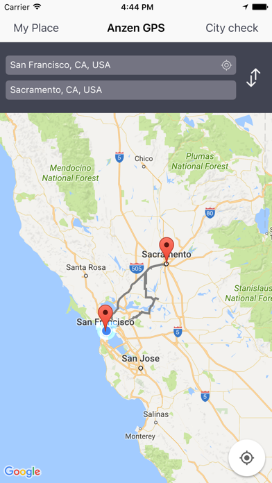
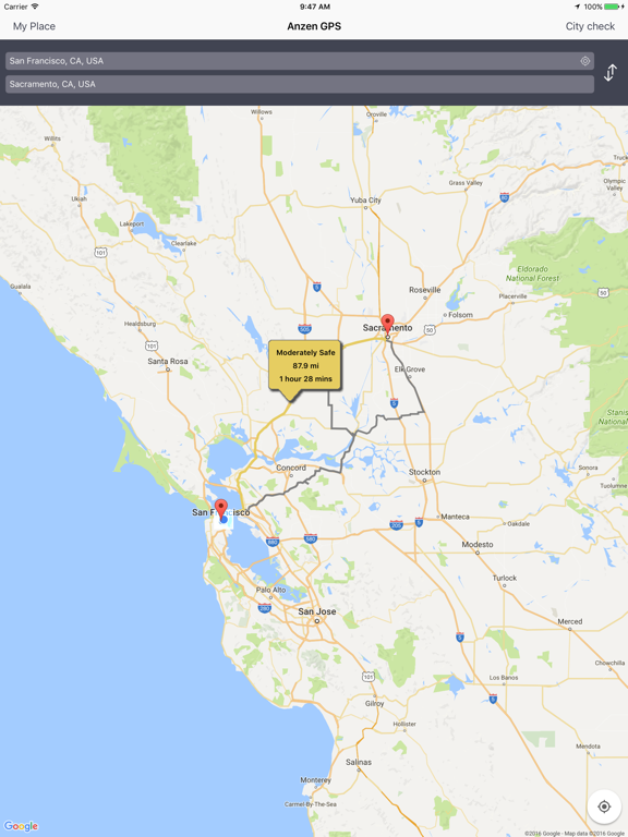
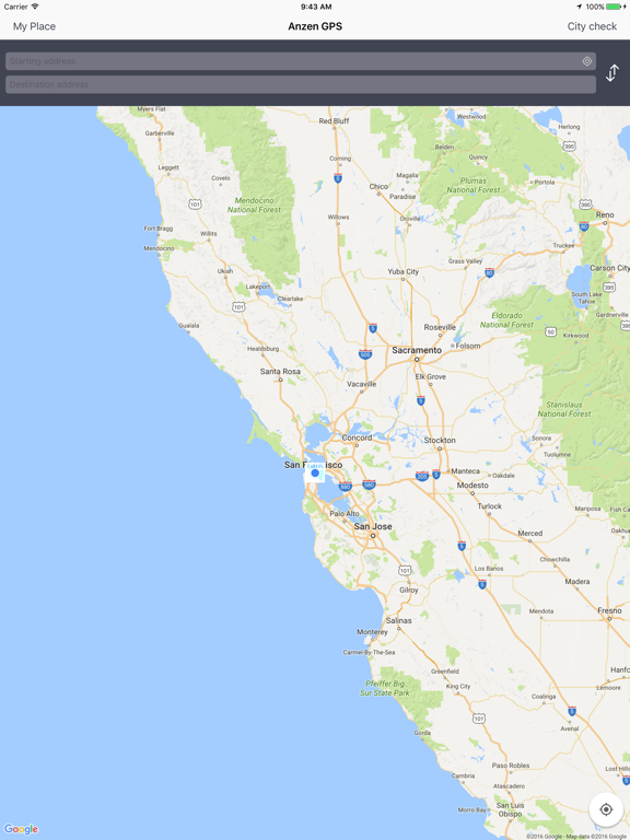
To map out the route, the user can enter the geographical address into the Starting Address and to the Destination Address box. Tapping on the GPS icon in the Starting Address box displays the Current Location allowing the route to be mapped out from the Current Location to the destination. Upon address entry, Anzen tabulates up to 3 color coded route maps based on safety levels:
• Green – Safe
• Yellow – Moderately Safe
• Red – Unsafe
Selecting a safety level allows the user to access associated driving direction, distance, and time.
Screens